
I was two years old when my brother was born. I literally don’t remember a life that he wasn’t part of. Until a few months ago, it’s not something I’d ever even contemplated. After all, he only lived down the road. And yet, after he lost his short but brutal fight with cancer, here we are.
For days I barely left the house. I kept wondering; How do people do it? Carry on when a hole has been blown in their family? It may sound like a cliché, but I decided that the answer, when faced with a seemingly insurmountable challenge, was; ‘One foot in front of the other’.
Before he got ill, my brother was 195 miles into his challenge to walk the South West Coast Path. And so the seed was sown. I would deal with my grief quite literally by putting one foot in front of the other.
The South West Coast Path
The South West Coast Path stretches for 630 miles, running along the coast from Somerset, through Devon and Cornwall to Dorset. Starting in Minehead in Somerset, the path runs along the north coast of the peninsula as far as Lands End, before turning and running along the south coast to South Haven Point near Poole.
As he lived in Poole, near what is traditionally considered to be the end of the trail, my brother had started there. My guide book divides the trail into 70 sections. My brother completed these in reverse order, from Section 70 to Section 50.
South West Coast Path Sections
| From | To | Distance (miles) | Elevation (metres) | |
| Section 70 | South Haven Point | Swanage | 7.5 | 150 |
| Section 69 | Swanage | Worth Matravers | 6.5 | 200 |
| 68 | Worth Matravers | Kimmeridge Bay | 7.1 | 487 |
| 67 | Kimmeridge Bay | Lulworth Cove | 7.1 | 610 |
| 66 | Lulworth Cove | Ferry Bridge | 14.4 | 727 |
| 65 | Isle of Portland | 13.0 | 339 | |
| 64 | Ferry Bridge | Abbotsbury | 10.9 | 291 |
| 63 | Abbotsbury | West Bay | 9.3 | 84 |
| 62 | West Bay | Lyme Regis | 10.0 | 944 |
| 61 | Lyme Regis | Seaton | 7.1 | 427 |
| 60 | Seaton | Sidmouth | 10.3 | 734 |
| 59 | Sidmouth | Budleigh Salterton | 7.1 | 316 |
| 58 | Budleigh Salterton | Exmouth | 5.4 | 220 |
| 57 | Exmouth | Teignmouth | 8.0 | 149 |
| 56 | Teignmouth | Babbacombe | 6.4 | 637 |
| 55 | Babbacombe | Brixham | 13.2 | 601 |
| 54 | Brixham | Dartmouth | 10.9 | 912 |
| 53 | Dartmouth | Torcross | 10.3 | 455 |
| 52 | Torcross | Salcombe | 12.6 | 686 |
| 51 | Salcombe | Hope Cove | 8.1 | 459 |
| 50 | Hope Cove | River Erme | 9.3 | 567 |
| 49 | ||||
| 48 | ||||
| 47 | ||||
| 46 | ||||
| 45 | ||||
| 44 | ||||
| 43 | ||||
| 42 | ||||
| 41 | ||||
| 40 | ||||
| 39 | ||||
| 38 | ||||
| 37 | ||||
| 36 | ||||
| 35 | ||||
| 34 | ||||
| 33 | ||||
| 32 | ||||
| 31 | ||||
| 30 | ||||
| 29 | ||||
| 28 | ||||
| 27 | ||||
| 26 | ||||
| 25 | ||||
| 24 | ||||
| 23 | ||||
| 22 | ||||
| 21 | ||||
| 20 | ||||
| 19 | ||||
| 18 | ||||
| 17 | ||||
| 16 | ||||
| 15 | ||||
| 14 | ||||
| 13 | ||||
| 12 | ||||
| 11 | ||||
| 10 | ||||
| 9 | ||||
| 8 | ||||
| 7 | ||||
| 6 | ||||
| 5 | ||||
| 4 | ||||
| 3 | ||||
| 2 | ||||
| 1 | Porlock Weir | Minehead | 8.9 | 556 |
Although I ultimatley plan to follow in his footsteps, working my way up from Section 70, my daughter and I will be starting at the other end, with Section 1 in Minehead.
Forest Holme Hospice
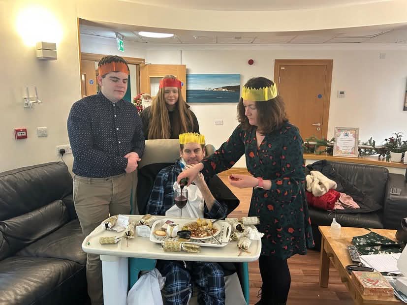
My brother spent most of his final weeks in Forest Holme Hospice. The lovely people who work here look after not only the medical needs of their patients, with kindness and compassion. But also there are so many extras. From foot massages for patients to bereavement counselling for loved ones. From presents at Christmas to financial advice. They make an incredibly difficult time just that little bit easier. So it was always in our minds that we should do something in my brother’s name to raise funds for the hospice which looked after him at the end.
The South West Coast Ultra Challenge
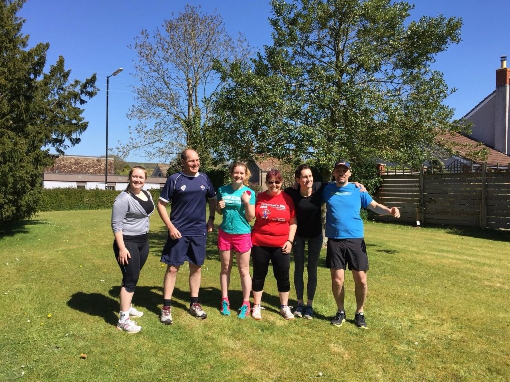
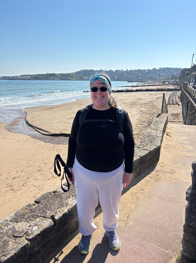
The South West Coast 50 Ultra Challenge is a punishing 50 km loop, out along the South West Coast Path and back through Exmoor. I have opted to only complete the first half of this challenge. I will be starting in Dunster and walking to Minehead. Then the route joins the first section of the SWCP; from Minehead to Porlock Weir. The total distance is 25 km. (That’s 15.5 miles in old money) although only the final 8.9 miles are along the Coast Path. My daughter, who is younger, fitter (and crazier) than me is going all the way.
Our main aim is to raise money for the hospice which looked after my brother by doing an activity which was close to his heart.
South West Coast Path Stage 1 (Minehead to Porlock Weir)
- Distance: 8.9 miles
- Elevation: 556 metres
The first part of the South West Coast Path is in North Somerset, with much of the route running through the rugged but beautiful Exmoor National Park.
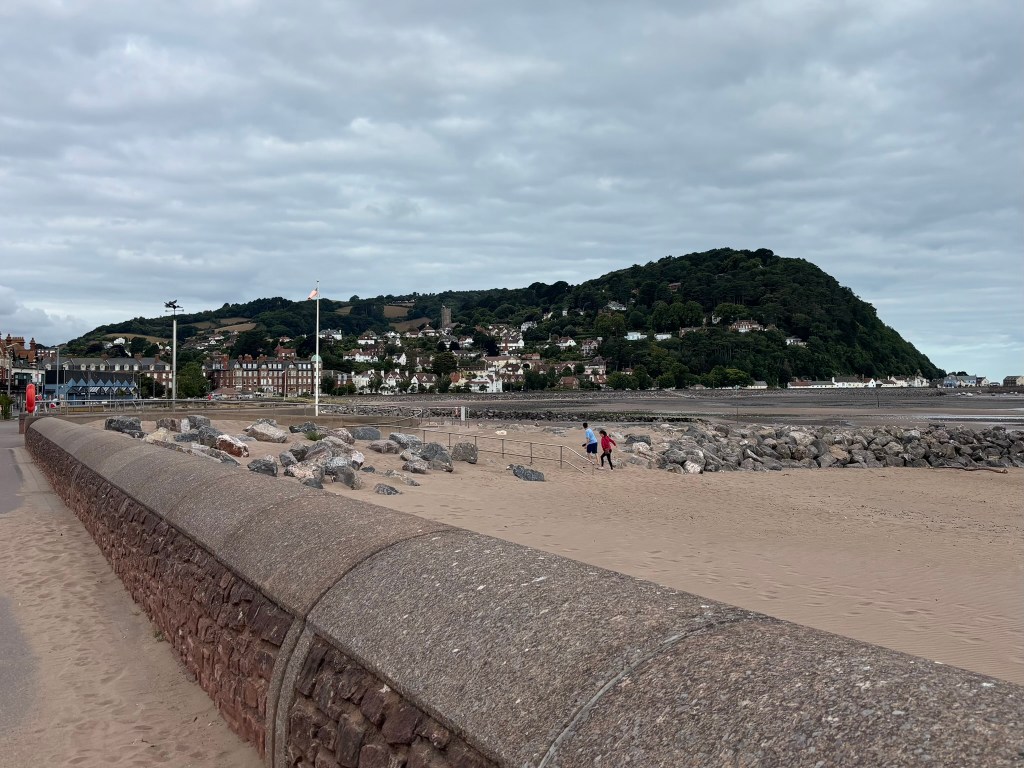
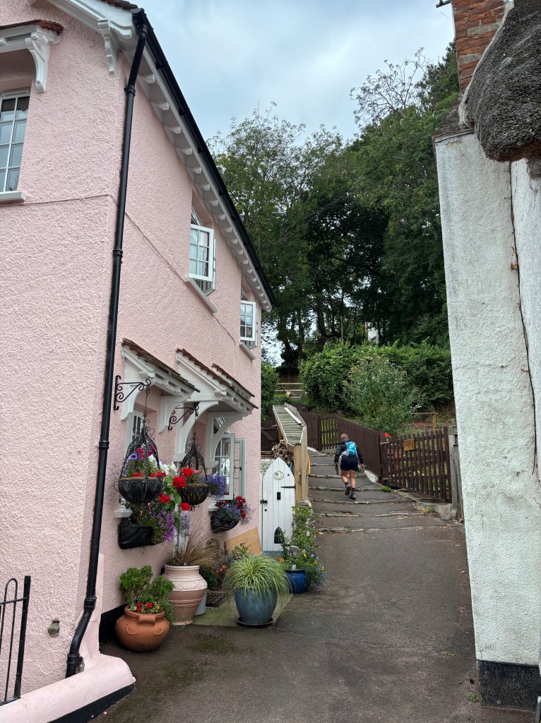
First, we must cover a long stretch of road, followed by some sand dunes and the prom at Minehead, before we actually reach the start of the Coast Path. Not the best start, I get sand in my shoes on the dunes, which quickly creates two enormous blisters. I hobble on towards the first aid station, which is at the 10 kilometre point – at the top of the hill which has been looming ominously in the background for some time.
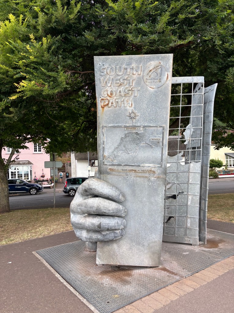
At the end of Minehead prom, the Coast Path officially starts. The spot is marked with a sculpture of some hands holding a trail map. Obviously, I stop to take a photo…
From here, things head immediately uphill for a long, steep section, which goes on for mile after lung busting mile.
At the rest point, I try to patch up my blisters, but soon realise that going on isn’t really an option and have to pull out. As I have covered 10 km, I am awarded with a 10 km medal and t shirt. Not the result I was hoping for, but nevertheless, my South West Coast Path journey has begun.
I return to the start/finish to watch my daughter complete here 50 km challenge.
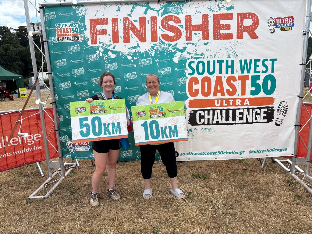
We manage to raise over £1000 for the hospice, which is a great result, far exceeding our target and expectations.
South West Coast Path Stage 70 (South Haven Point to Swanage)
Prelude complete, now it’s time to attack the trail in earnest, starting from just down the road at the mouth of Poole Harbour. As I already mentioned, for the first 195 miles, my aim is to follow in my brother’s footsteps. The planning of this isn’t too difficult as Andy was the king of spreadsheets. My sister-in-law has kindly given me my brother’s SWCP spreadsheets, of which there are several, including one dedicated entirely to the pasties he ate en route!
Section 70 at a Glance
| Starting Point | South Haven Point |
| Finishing Point | Swanage |
| Distance | 12.1 km |
| Ascent | 150 metres |
| Timing | 3.5 hours |
| Grading | Moderate |
| Settlements | Studland Swanage |
| Points of Interest | SWCP Start Sculpture Shell Bay Fort Henry Old Harry Rocks Ballard Down Swanage Railway Station |
| Stamping Point | Swanage Information Centre |
| Take a Break | Knoll Beach Cafe The Fish Plaice, Swanage Harlees, Swanage |
Sandbanks Ferry
The most direct route from Bournemouth to the starting point is to cross the mouth of Poole Harbour on the Sandbanks Ferry – the first of around 14 ferry trips which make up this coastal extravaganza. The short, 10 minute journey brings you to the Isle of Purbeck, which isn’t really an island, but a peninsula surrounded by marsh.
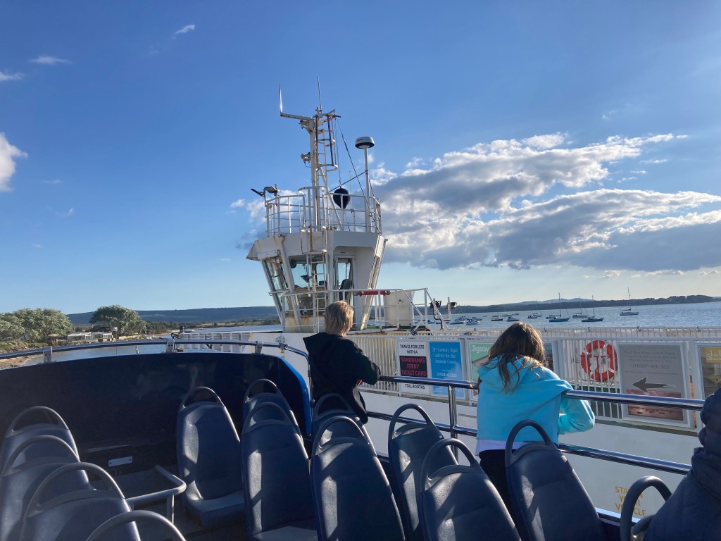
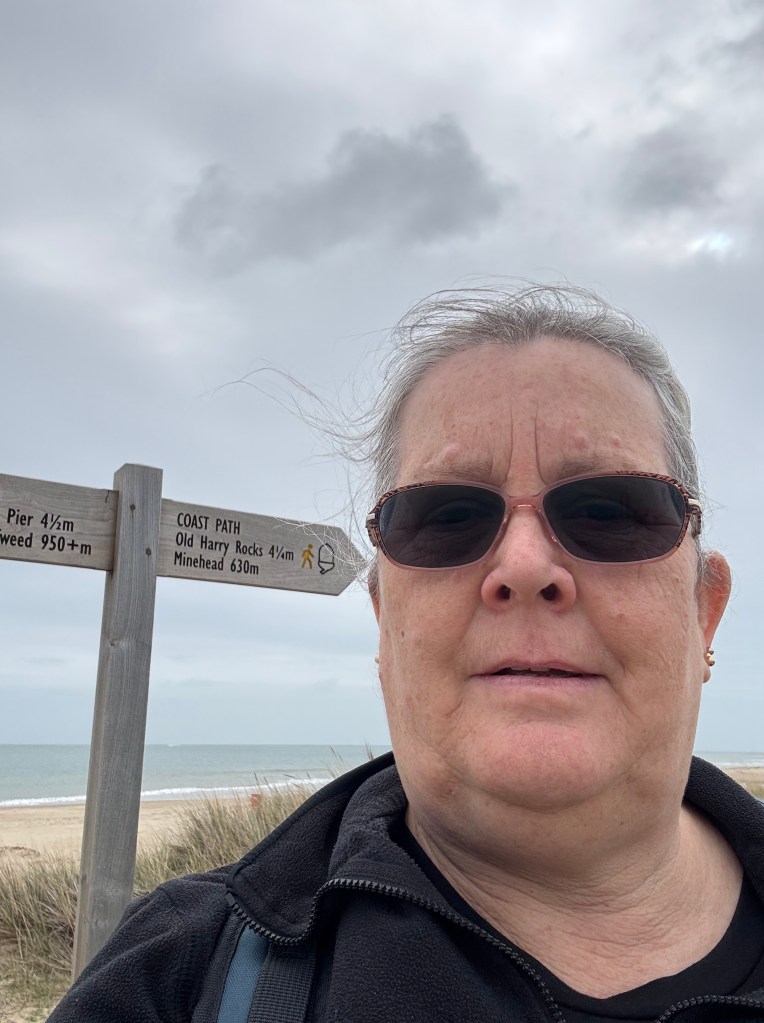
I opted to take the 50 Breezer Bus, which runs along the coast from Bournemouth to Swanage via the ferry. I alight at Shell Bay Ferry, where a useful sign tells me that I am 630 miles from Minehead.
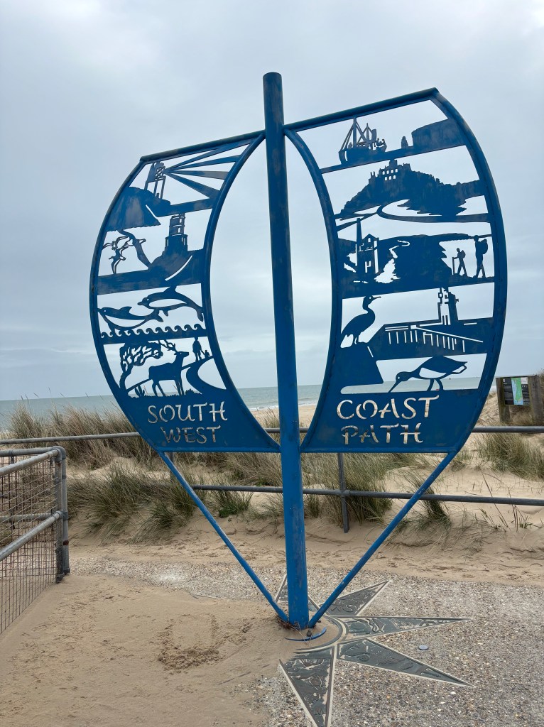
SWCP Start Sculpture
There is also a metal sculpture set in a compass, which marks the beginning of the Coast Path.
And so I set off on the first leg of my coastal journey. My brother’s spreadsheet estimated that he would complete his journey by 2037, so no pressure. I have no intention of rushing, just enjoying the scenery and stopping plenty of times along the route to explore, rest and, of course, refuel.
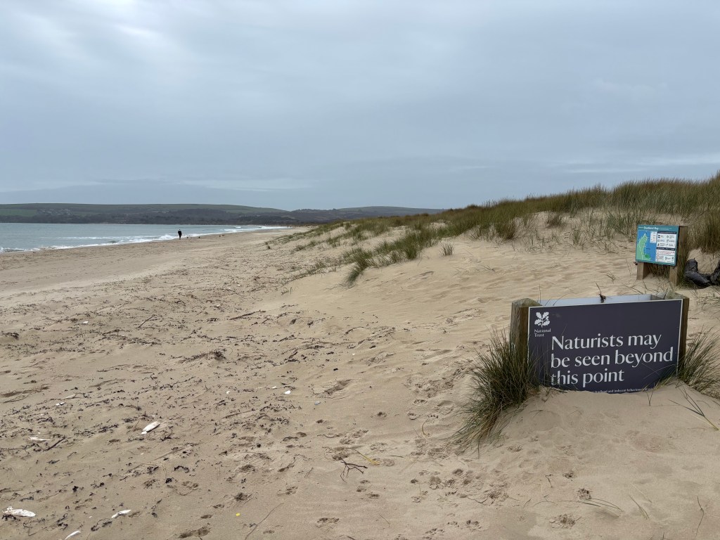
Shell Bay
The first part of the walk, along Shell Bay, is challenging. It involves a 3 mile walk along the beach, which is extremely draining on the legs. The options appear to be to walk along the dry sand at the top of the beach, which is energy sapping. Or walk on the wet sand and risk being hit by a rogue wave.
The route also involves walking through the middle of a naturist beach. Apparently, this spot is popular with sunbathers and fishermen who are keen to get their rods out. However, on a grey March morning, nobody has braved stripping off.
Knoll Beach Cafe
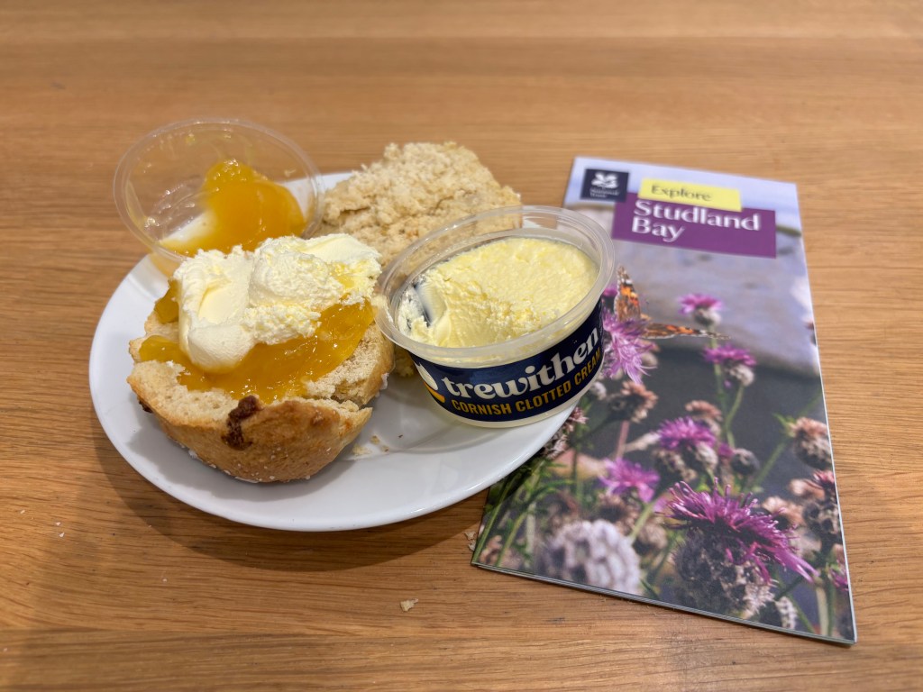
My first rest stop is at Knoll Beach Cafe – a deviation from my brother’s plan as his first rest stop was for a pasty in a cafe which has since closed down. I’m not a great lover of pasties, so I decide my walks will focus more on scones. The cafe at Knoll Beach is run by the National Trust, so I opt for their Scone of the Month; lemon and white chocolate served with lemon curd and clotted cream. It’s absolutely delicious! Sarah Merker, after her husband died of cancer, set herself the mission of eating a scone at each of the 244 National Trust cafes across the country. Her verdict of the scones here; ‘A 5 out of 5 if ever I saw one‘.
There’s also a nice little shop, where I purchase some souvenirs of the first stage of my journey.
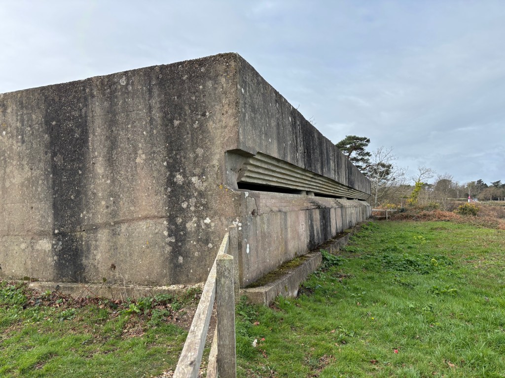
Fort Henry
At Middle Beach and South Beach, there are diversions in place due to coastal erosion and unexploded bombs. The second diversion is not very well signposted and I get a bit lost but finally find the next place on my list; Fort Henry. I had envisaged some sort of medieval fortress built of stone with turrets and towers. But Fort Henry is just a mass of concrete. It is, in fact, a World War Two observation bunker overlooking Studland Bay. It was built in 1943 to defend the bay from possible German invasion.
Studland
After 3.5 miles of walking, I reach the village of Studland. This small village has a shop, a few bars and restaurants and a large National Trust car park.
The Pig on the Beach
I had planned to stop for lunch at the Pig on the Beach. My brother’s first SWCP meal (if you discount an over salty pasty from a now defunct bakery) was here. He ordered a flatbread plus two pints of Piddle at the Pig. Apparently, he enjoyed his flatbread but was wasn’t a great fan of the beer, finding it hoppy and not as cold or refreshing as he’d hoped. Although apparently the second pint tasted better than the first – often the way! I am still stuffed from my excellent but enormous scone, so decide that lunch isn’t required. Instead, exhausted from the miles of walking on sand, I determine to split Section 70 into two and catch the bus home.
Trust 10 Trail Run
The next part of the coast path can be done on your own or as part of the Trust 10 Trail Run, which takes place on the 4th Sunday of the month between September and June. The route follows a 10 km route from Knoll Beach, via Ballard Down and Old Harry Rocks back to Knoll Beach, which we have ascertained makes excellent scones.
As I have entered this run a few times, I briefly consider skipping the next chunkof path, but think better of it. After a couple of days to recover, I catch the bus back to Studland to complete the second part of Stage 70.
Old Harry Rocks
From the outskirts of the village of Studland, a grassy trail takes you to Old Harry Rocks; a limestone rock formation just off the coast, which marks the start of the Jurassic Coast. Old Harry, and the remains of his wife, who collapsed in 1896, form one of Dorset’s most famous landmarks. You can read more about my visits to Old Harry here.

Ballard Down
Ballard Down is actually quite up. From here, the views across the coast are spectacular. The photo below was taken during lockdown, when the bay was full of homeless cruise ships.

After 3 miles of walking uphill, it’s time to descend into the seaside town of Swanage. When the heads of the people in front of my finally disappear as they commence their descent, I am most elated. Then I see how steep the descent actually is – achieved by climbing down over 100 stone steps.
Swanage
The final section takes you through a housing estate (although I later discover that you can walk along the beach at low tide) and onto the prom in Swanage. You can read more about my visits to Swanage here.
The Fish Plaice
I have made it! The first section of my journey is complete. The guide book gives the distance as 7.5 miles, so I’m unsure how I’ve managed to walk 9.4 miles, but I have made it nonetheless.
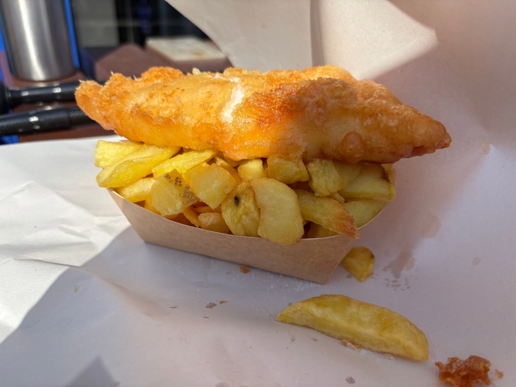
Just like my brother before me, I celebrate with a well earned portion of fish & chips. He was quite scathing of his meal, so I opt instead for The Fish Plaice, where the fish is so fresh that the name of the trawler which landed it this morning is written on the menu.
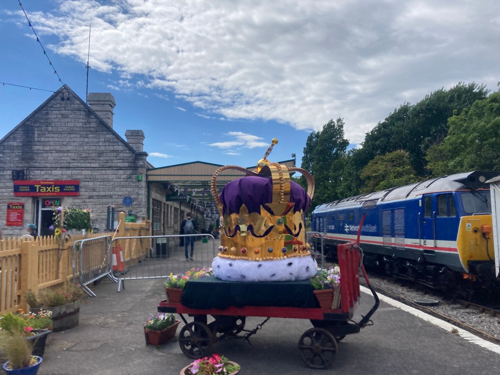
Swanage Station
It’s time to wend my weary way to Swanage Station. The station dates back to 1882 and is made of local Purbeck stone. It was originally the terminus of a branch line from Wareham, which was closed by British Rail in 1972. A decade later, it reopened as part of a heritage railway, where you can ride a steam train between Swanage and Corfe Castle.
My somewhat less romantic journey entails a ride on a very crowded bus back to Bournemouth. The queue to board is long and I briefly panic that I may have to stand for the hour long journey home. But my fears are unfounded and I manage to find a seat to enjoy a view of the route I have covered this week.
South West Coast Path Stage 69 (Swanage to Worth Matravers)
- Distance: 6.5 Miles
- Elevation: 200 metres
Section 69 of the South West Coast Path starts in Swanage and continues along the coast to, well, the middle of nowhere really. 630 miles is a long way. But what I hadn’t really considered is that, unless you’re walking the route in the style of a fugitive couple who claim to have lost everything, there are plenty of additional miles required. If, like my brother and I, you’re tackling the route in chunks squeezed into everyday life, section 69, a strenuous 4 hour walk which then entails a further hour of walking to reach civilisation and a bus stop. So, I decide once again to split the section into two, starting with today’s short circuit between Swanage and Durlston County Park.
I set off once more on the bus to Swanage. One thing I was nervous about as a novice hiker was layering – ensuring that I have sufficient clothing to keep warm and dry. But not carrying any more than absolutely necessary. Nowhere is this more relevant than on the bus. Riding an open top bus along the coast in March is a chilly business. And I’m glad I brought my fleece – even if it is discarded within minutes of this morning’s walk.
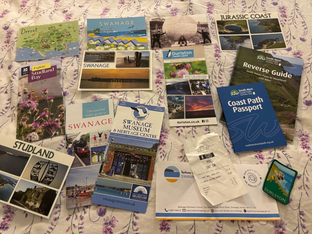
Coast Path Passport
If you are so inclined (and presumably my brother wasn’t or there would have been a spreadsheet), you can purchase a passport and have it stamped at various points along the way. So, first I stop at Swanage Information Centre to get my stamp.
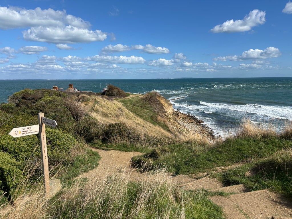
Then it’s time to set off from Swanage; along the quayside, past the Victorian pier and Wellington Clock Tower (which used to stand in London until it was brought to Swanage as ballast in the barges which shipped Portland stone to the capital) to Peveril Point.
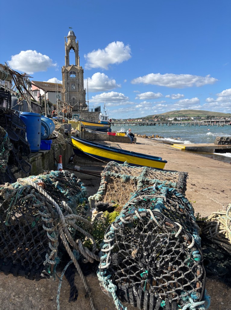
Peveril Point
Swanage Bay ends at Peveril Point. From this rocky outcrop, you can see north across the bay to Ballard Down and Old Harry Rocks. To the south, you can look across Durlston Bay to Durlston Country Park. A great visual reminder of where I’ve come from and where I’m going.
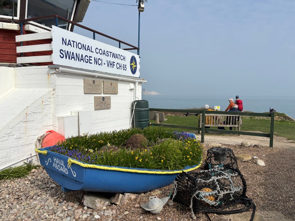
At the end of the point is the Coastguard Station. This is another passport stamping point. I climb to the lookout to ask for my stamp. Disappointingly, it’s the same Stamp. But at least I got the best view.
Durlston Country Park
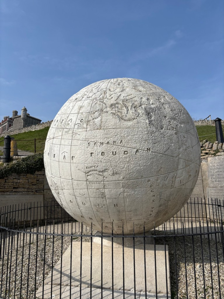
From here, it’s a short climb up a grassy hill into the grounds of Durlston Country Park; a nature reserve in the grounds of a castle. Once inside the park, the path hugs the cliff top with spectacular views interspersed with art works. Most notably, the Great Globe, a 40 tonne globe carved from Portland stone in 1887.
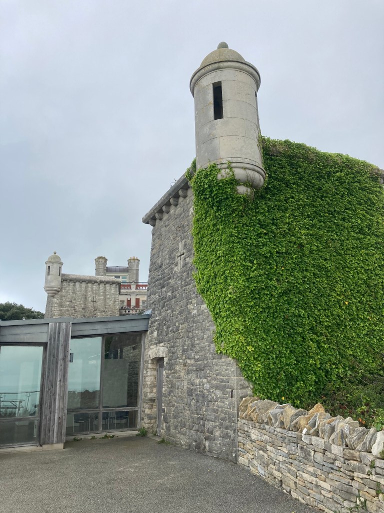
Durlston Castle
Durlston Castle sits perched on the cliff top overlooking Durlston Bay with stunning coastal views all around. The ‘castle’ was built in 1886 for a local quarry owner. Nowadays, it contains a visitor centre, gift shop, restaurant and art gallery. You can read more about my visits to Durlston Country Park here.
Durlston Country Park parkrun
Following the South West Coast Path brings the opportunity to participate in numerous parkruns. The first of these is Durlston Country Park parkrun. Much of the route is along the coast path itself. The stunning views (almost) make up the gradients, which make this event the third toughest parkrun in the UK.

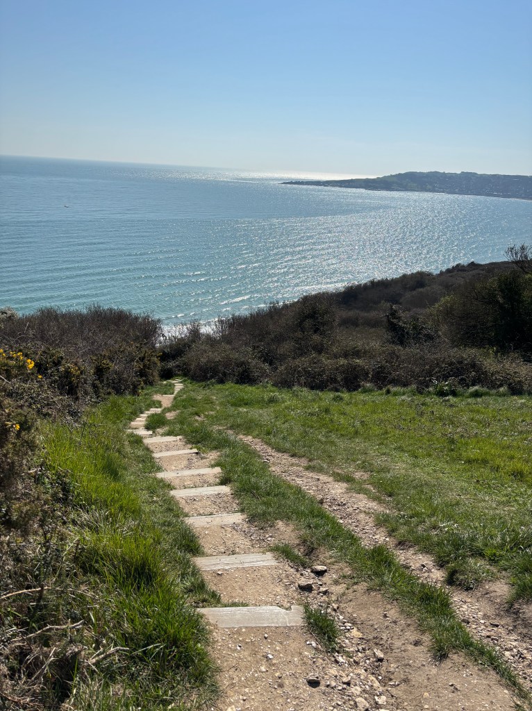
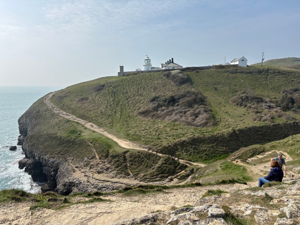
Anvil Point
The final point on today’s route is Anvil Point with its 19th century lighthouse. I pass a sign which says ‘Lighthouse 1/4 mile’. I’ve made it – haven’t I? Apparently not. Those last few hundred metres consist of a sharp descent with no path, just a steep scramble down a rocky cliff. Followed by an equally steep ascent. That’s enough for today, time to return to Swanage.
Harlees
Back in Swanage in time for a late lunch, I decide to try somewhere new; Harlees. I order a portion of loaded cheesy curry chips. Is this a good combination? The jury’s out and has remained out even after I’ve eaten them!

Dancing Ledge
Allan-Williams Turret
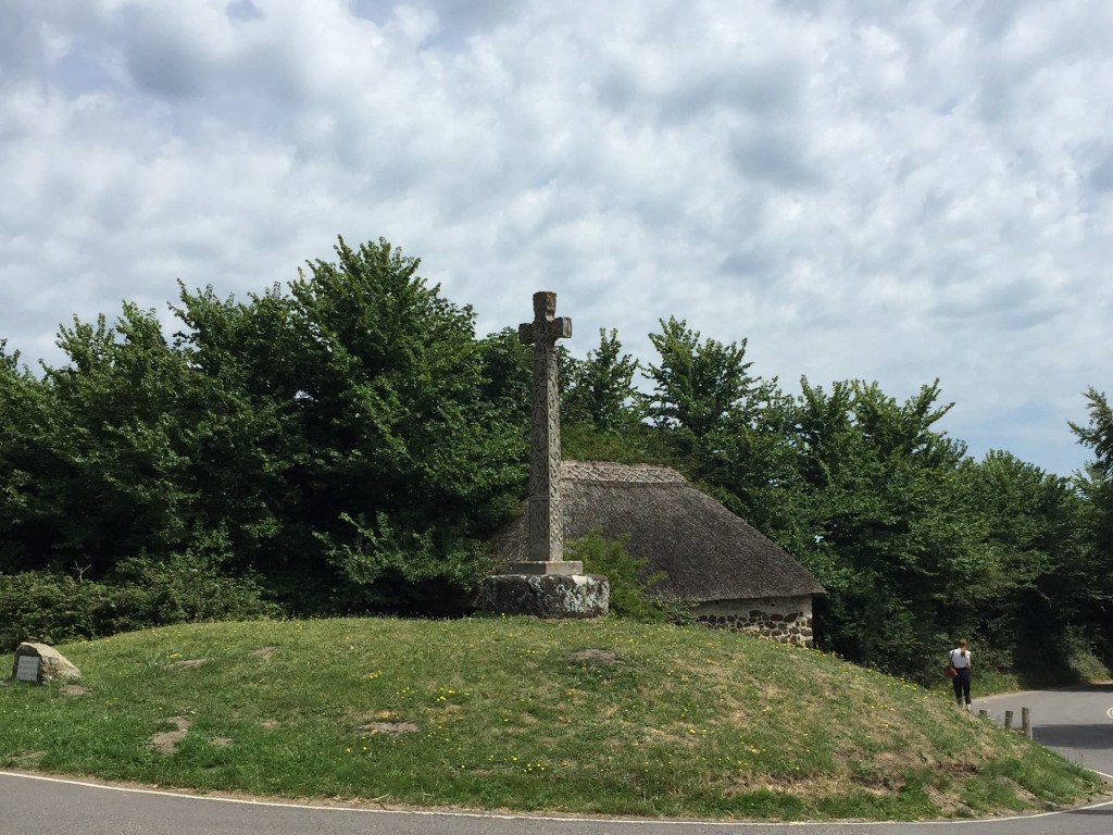
Worth Matravers
The Square and Compass
The Square and Compass is a pub, which specialises in pie and pasties as well as home made cider. Obviously, my brother stopped here, although he was rather underwhelmed by his pasty, which he concluded needed more seasoning. Andy washed his pasty down with a pint of Carlsberg. We had many things in common. His love of Carlsberg wasn’t one of them.

Leave a comment