
We spent 1 day exploring Death Valley National Park, en route from the Californian coast to Las Vegas. This fascinating desert valley, renowned for being the lowest, hottest and driest national place in North America, attracts over 1 million visitors a year.
How to get to Death Valley National Park
We drove roughly in a Y shape through Death Valley, entering from the south west, driving down the valley as far as Badwater Basin, before returning back up, via Artist Palette, and exiting in the north east near the Nevada Border. A total drive of around 135 miles.
Death Valley National Park in 1 Day Itinerary
| Day 1 | Drive to Death Valley Towne Pass Mesquite Flat Harmony Borax Works Furnace Creek Visitor Center Golden Canyon Badwater Basin Artists Palette Zabriskie Point Rhyolite Goldwell Outdoor Museum |
Death Valley National Park Day 1
Drive to Death Valley
Today, we are driving from California to Nevada through Death Valley National Park as we head towards Las Vegas.
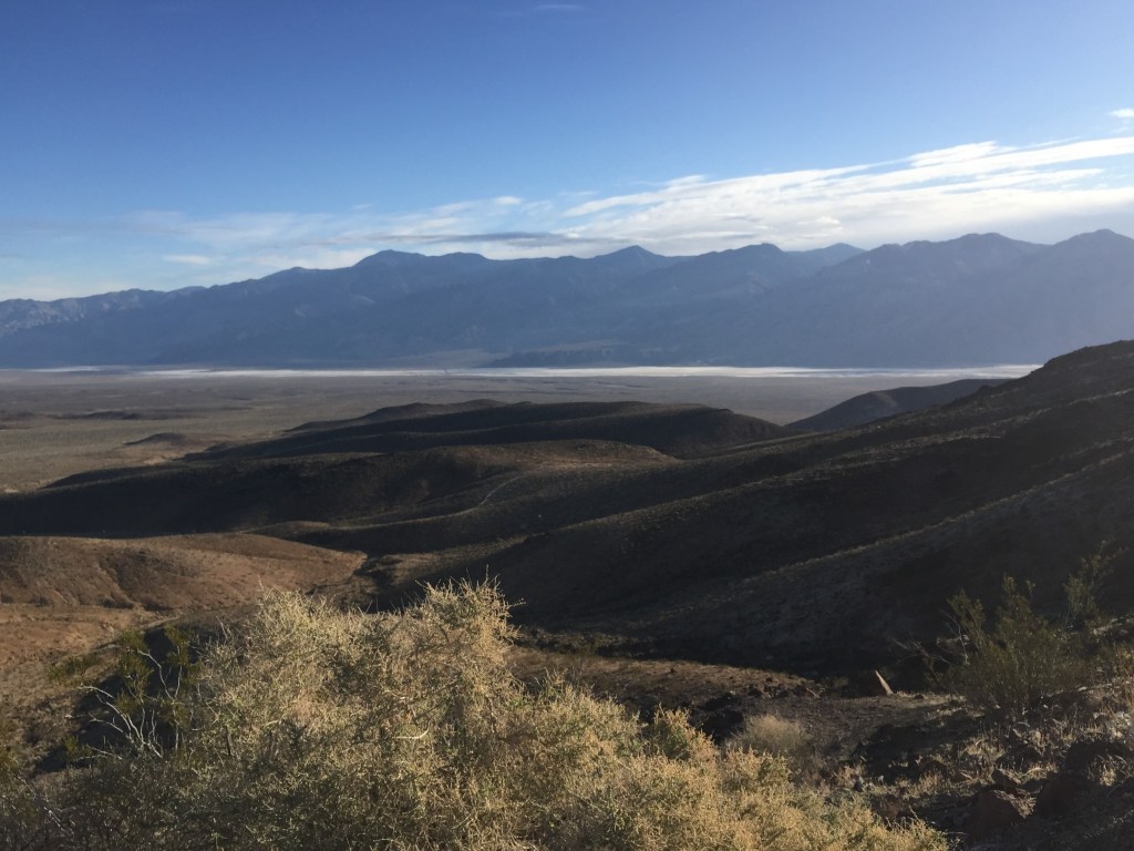
Towne Pass
To reach the valley, first we must follow the California State Route 190. The road climbs and climbs until we reach the top of Towne Pass. Here, we are at 4956 feet and the temperature zero degrees. Then, we descend into the valley on a road that it is more like a roller coaster. By the time we reach the bottom, we’re below sea level and the temperature has risen by 18 degrees.
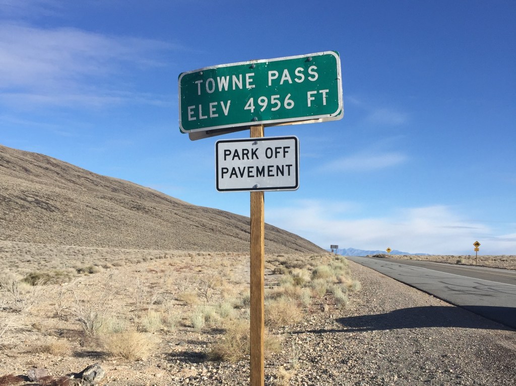
Mesquite Flat
The variation in the landscape as we drive through the valley is astounding. First, stop, the sand dunes of Mesquite Flat.
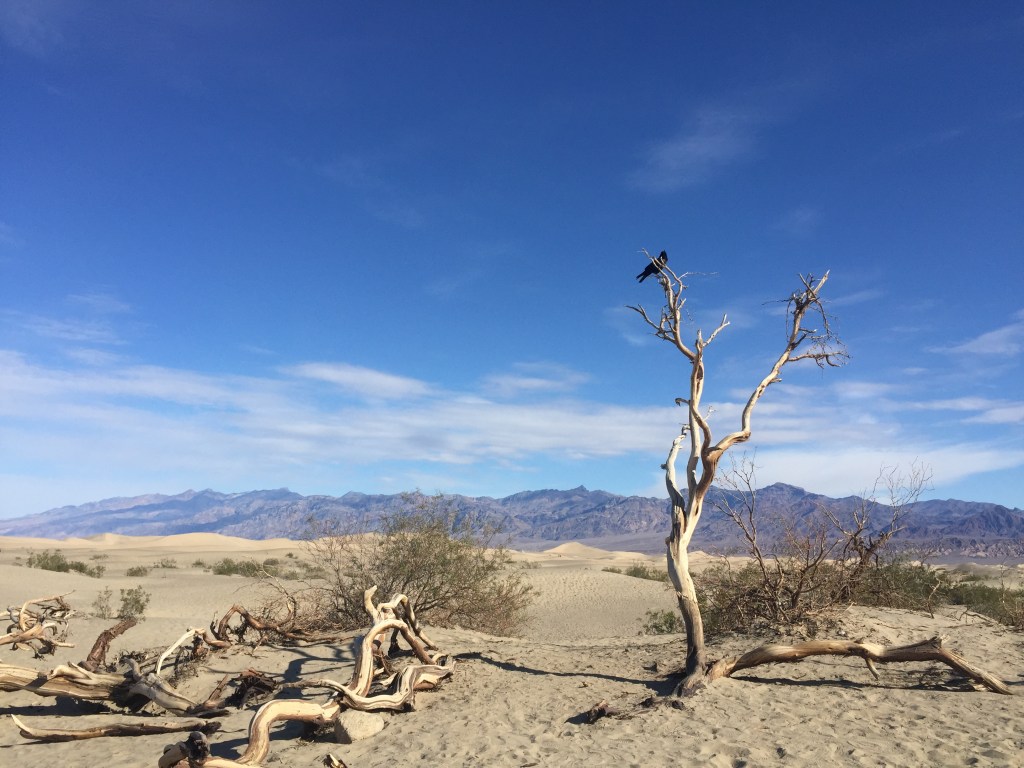
Harmony Borax Works
After a short drive, we stop at the old Harmony Borax Works, which operated between 1883 and 1888. You can follow an interpretive trail to learn about the history of the works and see an old locomotive.
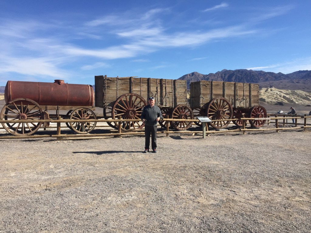
Furnace Creek Visitor Center
We take a break at Furnace Creek Visitor Center. Here, you can purchase refreshments, take a bathroom break, learn more about the park and pay your park fees ($30 per vehicle).
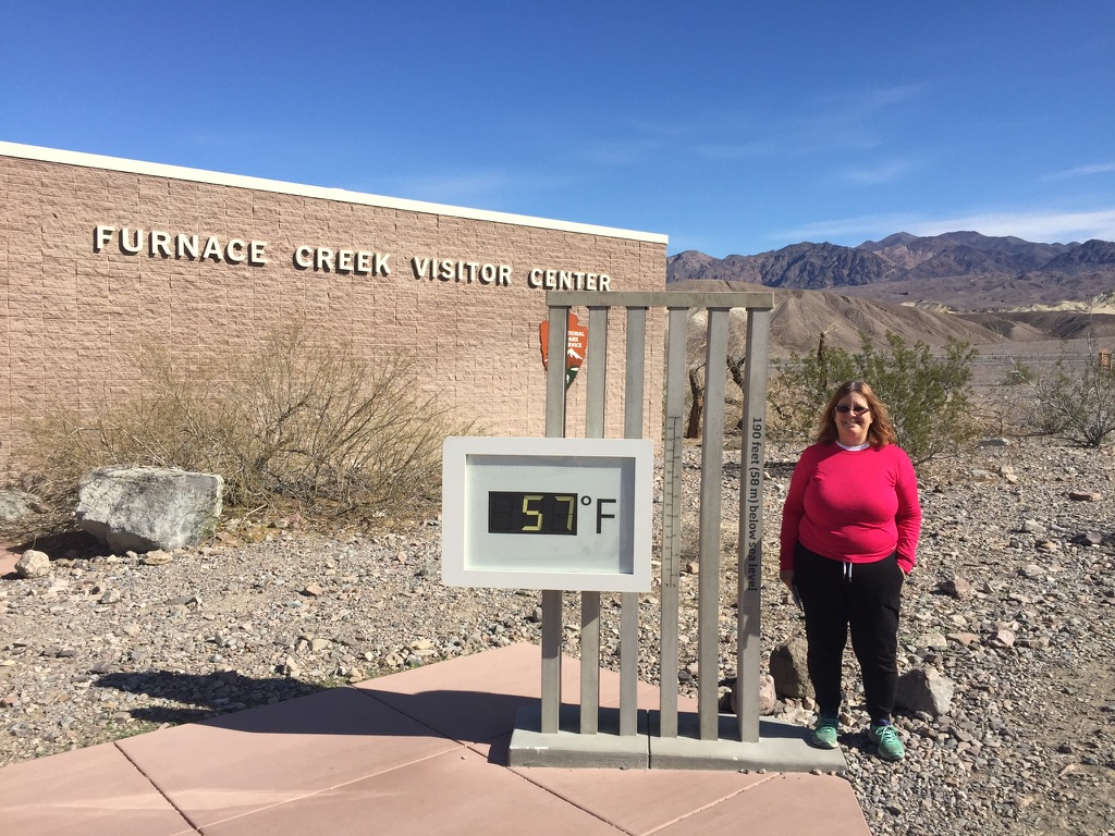
Golden Canyon
Next, we take a hike through the yellow rocks of Golden Canyon towards Red Cathedral. You can park up at the trail head to walk through the spectacular canyon to red rock formation. The full route is a 3 mile round trip.

Badwater Basin
On to salt flats of Badwater Basin. At 86 metres below sea level, this is the lowest point in North America. The vast expanse of salt flats here cover an area of almost 200 square miles.
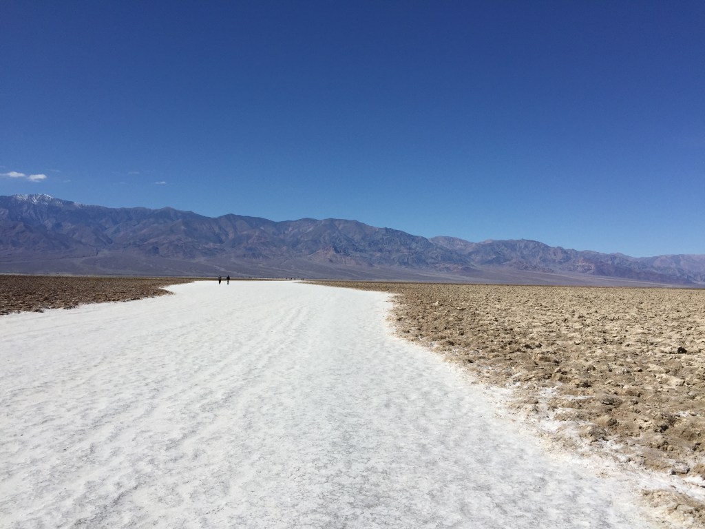
Artists Palette
We turn round and head back up the valley, taking a detour to the stunning Artists Palette. Here, you can see layers of rock in every imaginable colour. From the main (Badwater) road, you take a 5 mile, one way scenic loop through this spectacular scenery. There are places along the route where you can park up to explore in more detail.
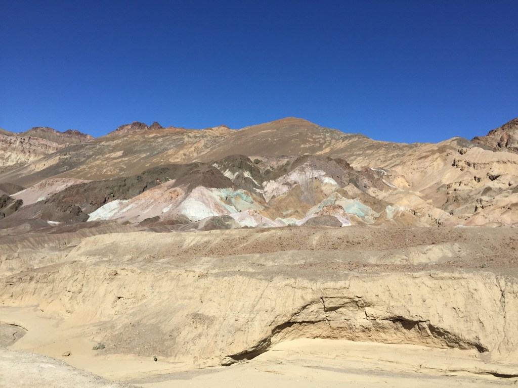
Zabriskie Point
We make our way out of the park via more spectacular scenery with the folding yellow and black rocks of Zabriskie Point.

Rhyolite
Having crossed the state line into Nevada on the other side of Death Valley, we make stop at the ghost town of Rhyolite, an abandoned gold mining town. You can wander round the eerie abandoned buildings including the bank, train depot and jail.

You can also see the quirky Tom Kelly Bottle House, a house built from around 50,000 glass bottles.
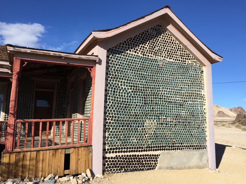
Goldwell Outdoor Museum
Nearby is the equally quirky Goldwell Outdoor Museum with a range of sculptures, including the Last Supper made of bandages soaked in plaster.
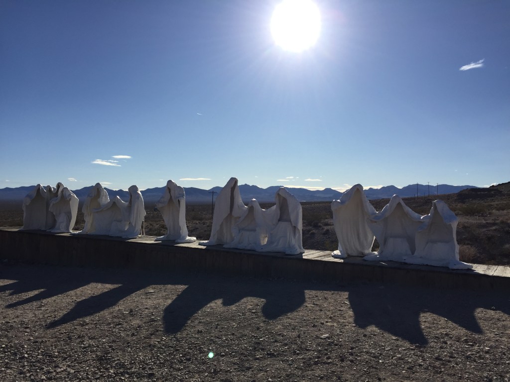
This open air museum is open 24/7. There is a Visitor Centre on site, which is usually open Monday to Saturday from 10 am until 4pm.
- Trip taken: February 2018
- Updated: October 2026
More Blogs about the USA
California
- California 2 Week Road Trip
- California Route 1 Road Trip (San Francisco to San Luis Obispo)
- Northern California 1 Week Road Trip
- Northern California 2 Week Road Trip
- Silicon Valley 1 Week Itinerary
- Folsom in 1 Day
- La Jolla in 1 Day
- Lake Tahoe in 2 Days
- Mariposa in 1 Day
- Monterey in 1 Day
- Napa in 2 Days
- Palo Alto in 2 Days
- San Francisco in 3 Days
- Sonoma in 1 Day
- Temecula in 2 Days
- Yosemite National Park in 3 Days


Leave a Reply